SEARCH
VPN / Proxy
Best VPNs
Best VPN for Streaming
Best VPN for Gaming
Best VPN for Windows
Best VPN for iPhone
Best VPN for Android
Best Proxies
Best Residential Proxies
Best Rotating Proxies
Best Proxies for School
Mobile Proxies
Smartproxy Review
Unblock It
Unlock Online Content
Minecraft Unblocked at School
Netflix Unblocked at School
Fortnite Unblocked at School
Bypass Restrictions
Bypass Egypt Openvpn Ban
Bypass WIFI Restrictions at School
Bypass Pornhub
Buying Guides
Save Money
Black Friday Deals!
Amazon Review Checkers
Best Coupon Apps to Save Money Online
Best Gaming Monitor Under $300
Best for Gaming
Best CPU for Gaming
Best SSD for Gaming
Best GPU for Gaming
Best Laptops for Engineering Students
Best Gaming Chairs
Windows
Windows Basics
Why does my Screen Keep Dimming?
Map Controller to Keyboard for Gaming
No Sound from Headphones Fix
How to Keep Keyboard Light On
Windows 10 How To
How to Get Help in Windows
Check Ram Type on Windows 11
Control Fan Speed on Windows 10
How to Check SSD Health on Windows 10
How to Mute Microphone with Keyboard
How to Screenshot on Windows
Mac OS
Mac Basics
Run Shell Script on Mac
Fix an App Stuck on Download
How to get Battery Alerts
Save Image from Clipboard
Mac How To
How to Split Screen on Mac
How to Change Menu Bar Color
How to Create File or App Shortcut
How to Output Audio to Multiple Devices
How to Pin Folders and Files to Finder Menu
Linux
Linux Basics
List USB Devices
Convert PNG to JPG in Linux
Check Internet Network Speed
Connect External Hard Drives in Linux
Linux How To
How to Check CPU Temperature
How to Clean Cache
How To Check Hard Drive Health
How To Securely Erase a Hard Drive
MS Office
Microsoft Office
How to use Checkbox in Word
How to Align Text Inside Tables in Word
How To Autofill Letters from A-Z in Excel
How to Change the Language on Office 365
Add Full Page Background Color on Word
Microsoft Outlook
How to Unsend an Email in Outlook
Fix Outlook Trying to Connect Issue
How to Send Bulk Email using Excel
How to Create a Meeting in Outlook
Tag:
Geotagging
iOS
How To Edit The Geotag Of A Photo On Your iPhone
Android
TweetPixx For Android: Explore Geo-Tagged Twitter Images On Map
Android
Pictulize Comes To Android; Lets You Explore Your World via Geo-Tagged Photos
Windows Tips
Selectively Remove EXIF Metadata Of Photos Using Pixelgarde
Mobile
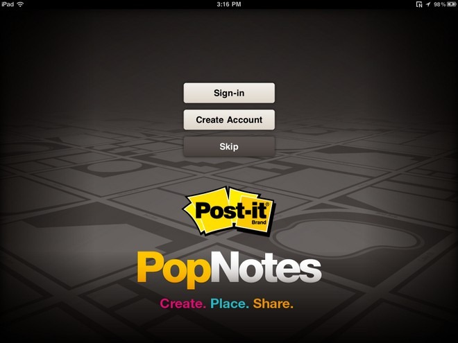
Create, Share & View Geotagged Notes With PopNotes For iPhone & iPad
Searching for something else?
Chances are, we can find what you're looking for:
SEARCH